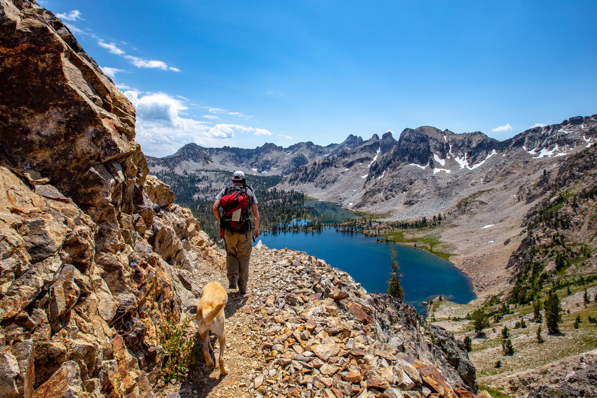
There are quite a few trails within the SNRA that will provide dryer conditions and glimpses of wildflowers earlier in the season as opposed to others that arrive mid-to-late summer. Here are a few recommendations taken from Matt Leidecker’s Exploring the Sawtooths trail and map guide published in 2012 Idaho River Publications.
Maps and brochures are available free or by purchase at local Forest offices and online at Sawtooth National Forest – Maps & Publications, and USGS – Map Locator. These are especially helpful when planning trips or to provide directions to the many accessible areas of the Forest. It is also highly advised that you check out Sawtooth alerts and notices for special orders and closures.
All distances listed below are one-way in miles
Easier Hikes
- Alpine Creek Canyon, 3.2
- Alturas Lake Creek Canyon, 2.7
- Bridal Veil Falls, 3.7
- Elk Meadow, 2.3
- Elk Mountain Loop, 11.2
- Fishhook Creek, 4
- Kelly Lake, 4.6
- Lady Face Falls, 2.4
- Marshall Lake easy/med, 4.7
- Marten Lake, 3.8
- Redfish Inlet (Bench Lakes Trail), 5.3
Medium Difficulty Hikes
- Alpine Way Trail, 11.8
- Cabin Creek Lakes, 3.6
- China Basin Road, 13.8
- Eureka Gulch, 4
- Joe Daley Creek, 1.6
Most Difficult Hikes
- Johnson to N.F. Ross Fork Loop, 28.3
- Leggit Lake, 8.3
- Plummer Lake (Grandjean), 7/8
- Queens River Divide- both locations, 8/9
- Scenic Lake, 9.6
- Wapiti Ridge, 6.9